How thunderstorms form, and how TrekWeather reads the setup.
Lightning Potential looks for the forecast ingredients behind a storm: fuel, instability, the lid, and signs that the atmosphere is actually firing.
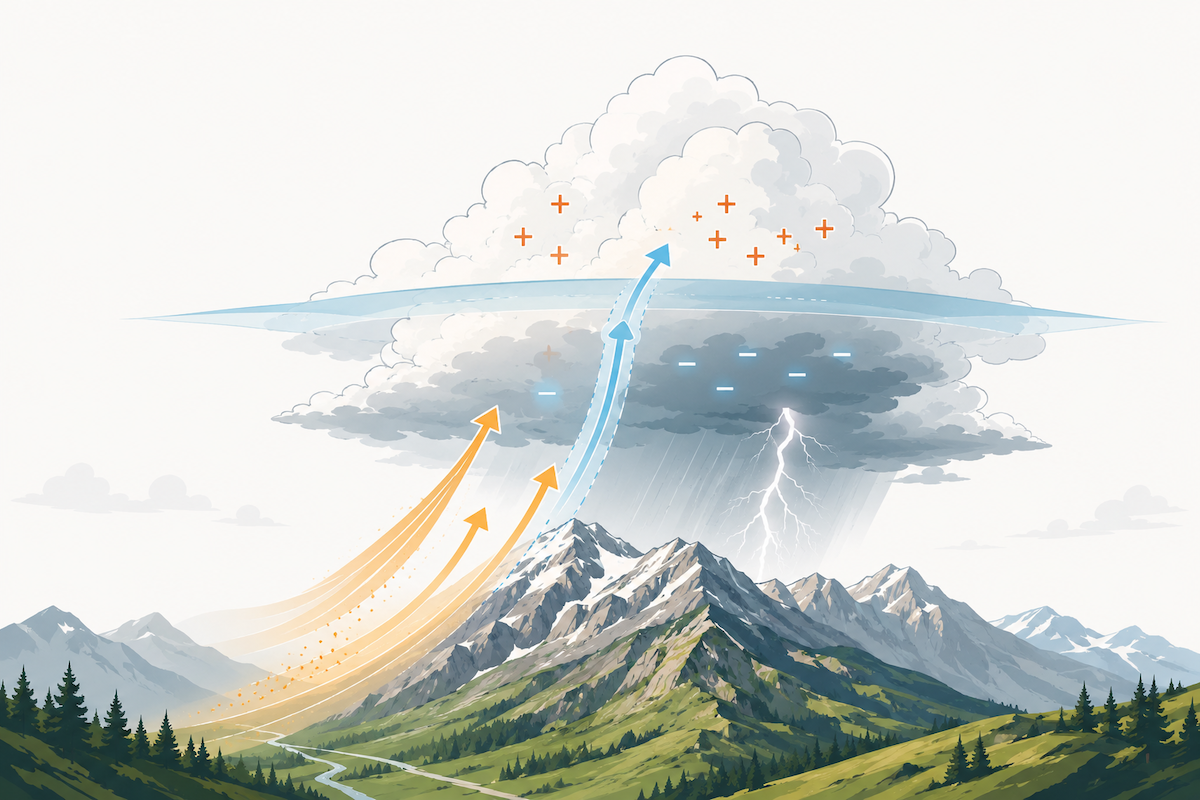
Want the short version? Warm, moist air rises hard, builds a tall cloud, and the ice and water inside separate charge until lightning discharges.
The physical story
Warm, moist air at the ground rises. As it climbs into colder heights, water vapor condenses and builds a towering cloud. Ice and water churn inside the cloud, electrical charge separates, and eventually that charge discharges as lightning.
Every ingredient below asks the same trail-planning question from a different angle: will a chunk of near-surface air rise hard and fast, and is anything stopping it?
Things must line up
Fuel, instability, and a weak enough lid need to overlap. One big number should not decide the tier by itself.
Lightning Potential is in beta and can be wrong. Do not rely on it to make go or no-go decisions. Low means no elevated model signal, not safe. If you see clouds building or storms forming, or you hear thunder, get off ridgelines and exposed terrain right away, regardless of the score.
The big three ingredients
TrekWeather starts with the physics that matters most: fuel, instability, and the lid. If those do not overlap, the storm signal stays limited.
CAPE
Fuel for the updraft
Convective Available Potential Energy estimates how much upward energy a rising air parcel could release. More CAPE means more fuel for stronger updrafts, but fuel alone does not make a storm.
Rough guide: under 300 J/kg is usually little fuel. 1000 to 2500 J/kg is a solid setup. 2500+ J/kg is a lot of fuel.
Lifted Index
Does the air want to rise?
Lifted Index compares a lifted surface air parcel to the air around it at about 5.5 km. If the parcel is warmer, it keeps rising. Negative numbers are the unstable ones.
The sign is the catch: -5 means very unstable, while 0 or positive is stable.
CIN
The lid on the pot
Convective Inhibition is the warm layer aloft that can stop surface air from rising. A strong lid can suppress storms even when the sky has plenty of fuel.
Small CIN means storms can trigger more easily. Large CIN means something has to punch through the cap.
Supporting signals
These do not create a severe-looking tier by themselves. They help confirm whether the loaded sky is actually doing something.
Precipitation
Is anything firing?
Rain probability and amount help show whether the model thinks storms are actually forming, not just theoretically possible.
A dry-looking model does not erase a loaded sky. Mountain storms can be small and easy for coarse models to miss.
Gusts and outflow
Supporting evidence
Strong wind gusts arriving with rain can be the outflow of a mature storm, the cold gust front it pushes out ahead of itself. Gusts happen for ordinary reasons too, so on their own they prove little.
TrekWeather uses gusts-with-rain only as a small confirmation that cannot create a top-tier result by itself. Cloud cover is not part of the score.
Codes 95, 96, 99
The model says thunderstorm
Some forecast models emit present-weather codes for thunderstorm or thunderstorm with hail. When they appear, that is a direct storm signal.
Coarse models rarely emit these codes, so TrekWeather treats them as a bonus, not a requirement.
Why alignment matters
CAPE and Lifted Index are related, but they are not the same thing. CAPE says how much total energy is available. Lifted Index says whether a lifted parcel is buoyant at a key level. CIN says whether the lid is strong enough to stop the whole process.
Fuel, but no spark
The energy is there, but the air is not buoyant. A hot, calm afternoon can look loaded without actually lifting.
Spark, but no fuel
A parcel may want to rise, but there is not enough energy to build a deep, powerful updraft. The setup can fizzle.
Ingredients overlap
This is the sky TrekWeather cares about: enough energy, buoyant air, and a lid weak enough for storms to grow.
Storm already firing
When the model emits a thunderstorm code (95, 96, 99), or strong gusts arrive with rain, a storm is likely already happening. That is the strongest confirmation, and it only adds to the signal, never the whole story.
How TrekWeather turns this into a tier
Lightning Potential is a deterministic heuristic built from forecast model ingredients. The exact points can change as the beta improves, but the structure stays grounded in the same meteorology.
- Score the ingredients.CAPE, Lifted Index, rain support, and active confirmation each contribute.
- Subtract the lid.CIN reduces the setup because a cap can stop surface air from rising.
- Map to Low, Moderate, High, or Extreme.The upper tiers require multiple ingredients to stack together.
- Bias against false calm.A loaded sky stays elevated even when the precip field looks quiet, because small mountain storms are easy for coarse models to miss.
How to use it before a hike
Compare days
Look for the lower-signal day when your itinerary is flexible, especially for exposed ridgelines, summits, and long exits above treeline.
Watch the peak window
A Moderate or High day with a clear afternoon window may still be manageable if your route is finished early. A peak window during your exposed section is different.
Check reality
Use official forecasts, alerts, radar, and what you can see or hear. The model is a planning layer. The sky gets the final vote.
Quick glossary
- CAPE
- Convective Available Potential Energy. Fuel for storm updrafts.
- Lifted Index
- Temperature difference showing whether a lifted air parcel is buoyant.
- CIN
- Convective Inhibition. The lid that can prevent air from rising.
- Weather codes 95, 96, 99
- Model present-weather codes for thunderstorm or thunderstorm with hail.